-
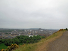
Edinburgh view from Salisbury Crags
-

Kirk O'Field, Edinburgh
Edinburgh view from Salisbury Crags
Kirk O'Field, Edinburgh
Other current and historical names
Location and coordinates are for the approximate centre of Dumbiedykes within this administrative area. Geographic features and populated places may cross administrative borders.