-

One cream and one blue
-
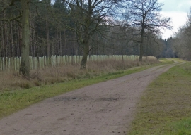
Track through Fineshade Wood
One cream and one blue
Track through Fineshade Wood
Location and coordinates are for the approximate centre of Dumb Bob Spinney within this administrative area. Geographic features and populated places may cross administrative borders.