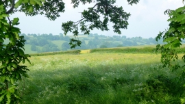
Dulas Brook, Herefordshire, County of

« Gazetteer Entry
Upload Photo

Dulas Brook, Herefordshire, County of

  • Parish/Community: Longtown
  • Unitary Authority: Herefordshire, County of
  • Region: West Midlands
  • Category: Water Feature
  • Type: Other Water Feature
  • Latitude/Longitude: 51°58'9"N 2°56'24"W
  • Eastings/Northings: 335500, 230500
  • OS Grid: SO355305
  • Mapcode Local: GBR F8.L59C
  • Mapcode Global: VH78G.ZRGR

Location and coordinates are for the approximate centre of Dulas Brook within this administrative area. Geographic features and populated places may cross administrative borders.

BritishPlaceNames.uk is a Good Stuff website.