-
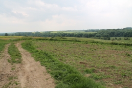
Farmland towards Hopyard Plantation
-
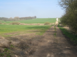
Farm track to Hainton Walk Farm
Farmland towards Hopyard Plantation
Farm track to Hainton Walk Farm
Location and coordinates are for the approximate centre of Duckpond Plantation within this administrative area. Geographic features and populated places may cross administrative borders.