-

Lower Pond in the garden at Lukesland
-
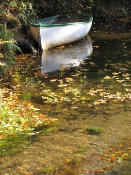
The lower pond at Lukesland Gardens
Lower Pond in the garden at Lukesland
The lower pond at Lukesland Gardens
Location and coordinates are for the approximate centre of Dryingfield Plantation within this administrative area. Geographic features and populated places may cross administrative borders.