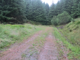
Druim Sgùrr nan Cabar, Highland

« Gazetteer Entry
Upload Photo

Druim Sgùrr nan Cabar, Highland

  • Unitary Authority: Highland
  • Region: Scotland
  • Category: Geographic Feature
  • Type: Hill or Mountain
  • Latitude/Longitude: 57°13'26"N 5°28'43"W
  • Eastings/Northings: 190095, 820161
  • OS Grid: NG900201
  • Mapcode Local: GBR D9VM.H8R
  • Mapcode Global: WH0BH.TP8G

Location and coordinates are for the approximate centre of Druim Sgùrr nan Cabar within this administrative area. Geographic features and populated places may cross administrative borders.

BritishPlaceNames.uk is a Good Stuff website.