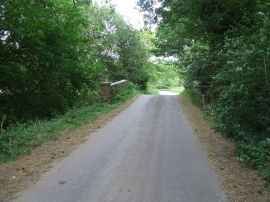
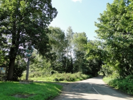
Dripping Pan Wood, Suffolk

« Gazetteer Entry
Upload Photo

Dripping Pan Wood, Suffolk

  • Parish/Community: Boxted
  • District/Borough: Babergh
  • County: Suffolk
  • Region: Eastern
  • Category: Landcover
  • Type: Forest or Wood
  • Latitude/Longitude: 52°7'40"N 0°39'29"E
  • Eastings/Northings: 582059, 251050
  • OS Grid: TL820510
  • Mapcode Local: GBR QG8.K7L
  • Mapcode Global: VHJH7.CSC6

Location and coordinates are for the approximate centre of Dripping Pan Wood within this administrative area. Geographic features and populated places may cross administrative borders.

BritishPlaceNames.uk is a Good Stuff website.