-
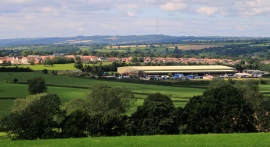
2011 : North west from Whitstone Hill
-
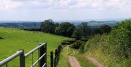
2011 : Farm track and sheep on Whitstone Hill
2011 : North west from Whitstone Hill
2011 : Farm track and sheep on Whitstone Hill
Location and coordinates are for the approximate centre of Doulting Sheep Sleight within this administrative area. Geographic features and populated places may cross administrative borders.