-
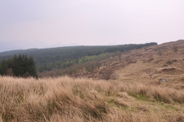
Edge of the moorland near Liddesdale
-
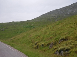
Grassy slopes give way to stony higher slopes
Edge of the moorland near Liddesdale
Grassy slopes give way to stony higher slopes
Location and coordinates are for the approximate centre of Doire nan Gad within this administrative area. Geographic features and populated places may cross administrative borders.