-
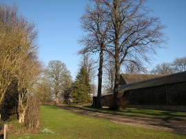
Home Farm on a winter afternoon
-
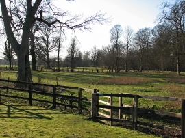
Kissing gate at Home Farm
Home Farm on a winter afternoon
Kissing gate at Home Farm
Location and coordinates are for the approximate centre of Dickman's Grove within this administrative area. Geographic features and populated places may cross administrative borders.