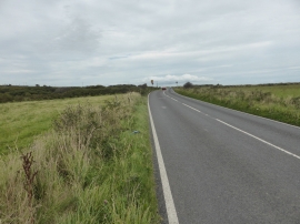
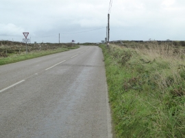
Deveral Common, Cornwall

« Gazetteer Entry
Upload Photo

Deveral Common, Cornwall

  • Parish/Community: Sancreed
  • Unitary Authority: Cornwall
  • Region: South West
  • Category: Landcover
  • Type: Other Landcover
  • Latitude/Longitude: 50°7'36"N 5°37'41"W
  • Eastings/Northings: 140787, 31495
  • OS Grid: SW407314
  • Mapcode Local: GBR DXHB.SXZ
  • Mapcode Global: VH05G.D2HM

Location and coordinates are for the approximate centre of Deveral Common within this administrative area. Geographic features and populated places may cross administrative borders.

BritishPlaceNames.uk is a Good Stuff website.