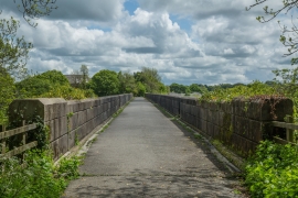
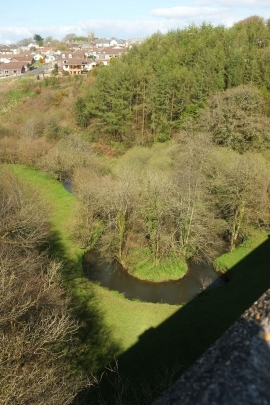
Deriton Wood, Devon

« Gazetteer Entry
Upload Photo

Deriton Wood, Devon

  • Parish/Community: Pyworthy
  • District/Borough: Torridge
  • County: Devon
  • Region: South West
  • Category: Landcover
  • Type: Forest or Wood
  • Latitude/Longitude: 50°48'29"N 4°21'36"W
  • Eastings/Northings: 233803, 103616
  • OS Grid: SS338036
  • Mapcode Local: GBR KB.YF7R
  • Mapcode Global: FRA 16RY.P5C

Location and coordinates are for the approximate centre of Deriton Wood within this administrative area. Geographic features and populated places may cross administrative borders.

BritishPlaceNames.uk is a Good Stuff website.