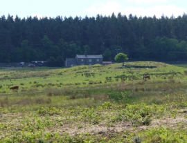
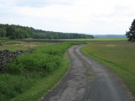
Deershed Plantation, Carlisle

« Gazetteer Entry
Upload Photo

Deershed Plantation, Carlisle

  • Parish/Community: Chatton
  • Unitary Authority: Carlisle
  • Region: North East
  • Category: Landcover
  • Type: Forest or Wood
  • Latitude/Longitude: 55°32'20"N 1°57'47"W
  • Eastings/Northings: 402419, 627259
  • OS Grid: NU024272
  • Mapcode Local: GBR G4QD.R6
  • Mapcode Global: WH9ZQ.T19H

Location and coordinates are for the approximate centre of Deershed Plantation within this administrative area. Geographic features and populated places may cross administrative borders.

BritishPlaceNames.uk is a Good Stuff website.