-
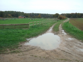
Track near New Park Farm, Bretton, Peterborough
-
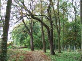
Woodland path from Bretton to Milton Park, Peterborough
Track near New Park Farm, Bretton, Peterborough
Woodland path from Bretton to Milton Park, Peterborough
Location and coordinates are for the approximate centre of Deer Leap Belt within this administrative area. Geographic features and populated places may cross administrative borders.