-

Green Alkanet (Pentaglottis sempervirens)
-
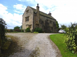
Greengore near Hurst Green
Green Alkanet (Pentaglottis sempervirens)
Greengore near Hurst Green
Location and coordinates are for the approximate centre of Deer House Wood within this administrative area. Geographic features and populated places may cross administrative borders.