-
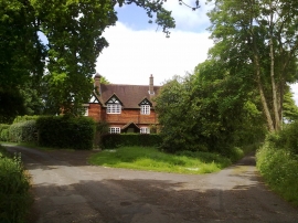
House in Lower House Road
-

Approaching Lower House Road from Heath Hall
House in Lower House Road
Approaching Lower House Road from Heath Hall
Location and coordinates are for the approximate centre of Daws Copse within this administrative area. Geographic features and populated places may cross administrative borders.