-
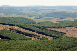
Clear felling sections in Eskdalemuir Forest
-
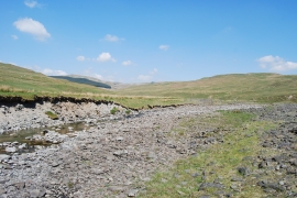
Glendearg Burn close to Glendearg Farm
Clear felling sections in Eskdalemuir Forest
Glendearg Burn close to Glendearg Farm
Location and coordinates are for the approximate centre of Davington Burn within this administrative area. Geographic features and populated places may cross administrative borders.