-
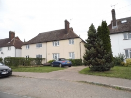
Houses on Bury Lane, Datchworth
-
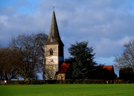
All Saints' church, Datchworth
Houses on Bury Lane, Datchworth
All Saints' church, Datchworth
Other current and historical names
Location and coordinates are for the approximate centre of Datchworth within this administrative area. Geographic features and populated places may cross administrative borders.