-

Rayleigh Grove, home of Sherborne Town FC
-
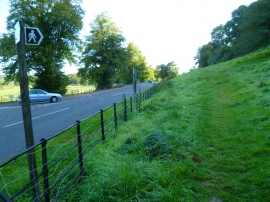
The Orange Way in Dorset and Somerset (174)
Rayleigh Grove, home of Sherborne Town FC
The Orange Way in Dorset and Somerset (174)
Location and coordinates are for the approximate centre of Dancing Hill within this administrative area. Geographic features and populated places may cross administrative borders.