-

Reservoir overflow
-
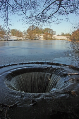
The Fish Pond overflow, North Rode Manor
Reservoir overflow
The Fish Pond overflow, North Rode Manor
Location and coordinates are for the approximate centre of Damhead Wood within this administrative area. Geographic features and populated places may cross administrative borders.