-
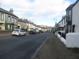
Market Street, Dalton-in-Furness
-
Road, a view down Market Street
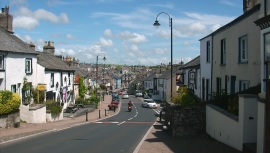
Market Street, Dalton-in-Furness
Road, a view down Market Street
Location and coordinates are for the approximate centre of Dalton-in-Furness within this administrative area. Geographic features and populated places may cross administrative borders.