-

Best bus ride in Britain on vintage service bus
-
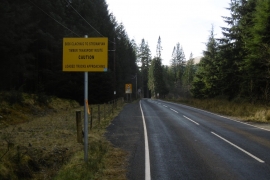
The widened B836
Best bus ride in Britain on vintage service bus
The widened B836
Location and coordinates are for the approximate centre of Dalinlongart Wood within this administrative area. Geographic features and populated places may cross administrative borders.