-
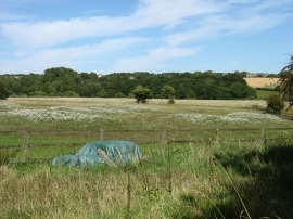
Arable land west of Daglingworth
-
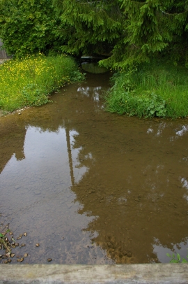
Duntisbourne Rous ford, from the footbridge
Arable land west of Daglingworth
Duntisbourne Rous ford, from the footbridge
Location and coordinates are for the approximate centre of Daglingworth Grove within this administrative area. Geographic features and populated places may cross administrative borders.