-

St James the Greater, Dadlington - Font
-
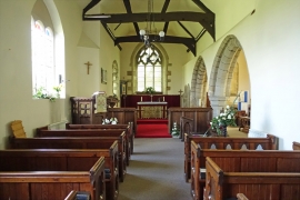
St James the Greater, Dadlington - East end
St James the Greater, Dadlington - Font
St James the Greater, Dadlington - East end
Location and coordinates are for the approximate centre of Dadlington within this administrative area. Geographic features and populated places may cross administrative borders.