-

The Afon Cadnant at Plas Cadnant Gardens
-
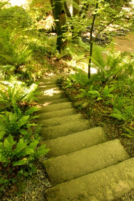
The 39 Steps at Plas Cadnant Hidden Gardens
The Afon Cadnant at Plas Cadnant Gardens
The 39 Steps at Plas Cadnant Hidden Gardens
Location and coordinates are for the approximate centre of Cwm Cadnant within this administrative area. Geographic features and populated places may cross administrative borders.