-
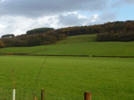
Farmland off Lowfield Lane
-
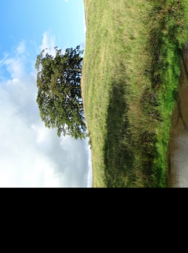
A view of Bull Coppice
Farmland off Lowfield Lane
A view of Bull Coppice
Location and coordinates are for the approximate centre of Cunliffe Wood within this administrative area. Geographic features and populated places may cross administrative borders.