-
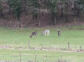
Three stags by Cumberland Wood
-
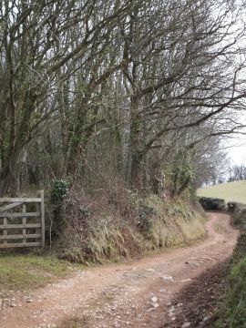
Bridleway passing Cumberland Wood
Three stags by Cumberland Wood
Bridleway passing Cumberland Wood
Location and coordinates are for the approximate centre of Cumberland Wood within this administrative area. Geographic features and populated places may cross administrative borders.