-
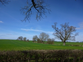
Farmaland for sale near Ashton, Northamptonshire
-
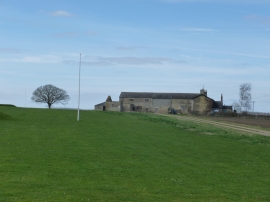
Elmington Top Lodge near Ashton
Farmaland for sale near Ashton, Northamptonshire
Elmington Top Lodge near Ashton
Location and coordinates are for the approximate centre of Cuckoo Spinney within this administrative area. Geographic features and populated places may cross administrative borders.