-

Falcon Inn Road & Down Lane footpath
-
Down Lane footpath & entrance to Field Farm
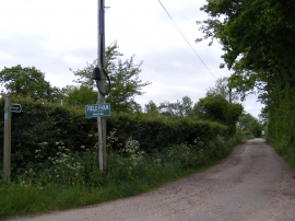
Falcon Inn Road & Down Lane footpath
Down Lane footpath & entrance to Field Farm
Location and coordinates are for the approximate centre of Cuckold's Green within this administrative area. Geographic features and populated places may cross administrative borders.