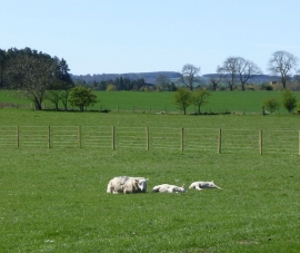
Crow Wood, Carlisle

« Gazetteer Entry
Upload Photo

Crow Wood, Carlisle

  • Parish/Community: Belsay
  • Unitary Authority: Carlisle
  • Region: North East
  • Category: Landcover
  • Type: Forest or Wood
  • Latitude/Longitude: 55°8'8"N 1°49'54"W
  • Eastings/Northings: 410824, 582392
  • OS Grid: NZ108823
  • Mapcode Local: GBR H9N1.6R
  • Mapcode Global: WHC2V.T5XN

Location and coordinates are for the approximate centre of Crow Wood within this administrative area. Geographic features and populated places may cross administrative borders.

BritishPlaceNames.uk is a Good Stuff website.