-
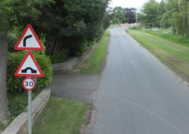
Approaching the hump-backed bridge in Sinnington
-
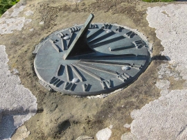
The Sinnington sundial
Approaching the hump-backed bridge in Sinnington
The Sinnington sundial
Location and coordinates are for the approximate centre of Croft Green within this administrative area. Geographic features and populated places may cross administrative borders.