-
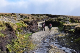
Environmental devastation, Monadhliath Mountains
-
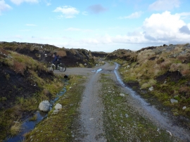
Junction of tracks
Environmental devastation, Monadhliath Mountains
Junction of tracks
Location and coordinates are for the approximate centre of Càrn Mhic Iamhair within this administrative area. Geographic features and populated places may cross administrative borders.