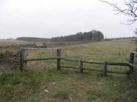
Craven's Gorse, Gloucestershire

« Gazetteer Entry
Upload Photo

Craven's Gorse, Gloucestershire

  • Parish/Community: Sudeley
  • District/Borough: Tewkesbury
  • County: Gloucestershire
  • Region: South West
  • Category: Landcover
  • Type: Forest or Wood
  • Latitude/Longitude: 51°54'48"N 1°55'41"W
  • Eastings/Northings: 405041, 223899
  • OS Grid: SP050238
  • Mapcode Local: GBR 3NG.Z7N
  • Mapcode Global: VHB1S.J5JC

Location and coordinates are for the approximate centre of Craven's Gorse within this administrative area. Geographic features and populated places may cross administrative borders.

BritishPlaceNames.uk is a Good Stuff website.