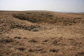
Cowsic Head, Devon

« Gazetteer Entry
Upload Photo

Cowsic Head, Devon

  • Parish/Community: Dartmoor Forest
  • District/Borough: West Devon
  • County: Devon
  • Region: South West
  • Category: Water Feature
  • Type: Other Water Feature
  • Latitude/Longitude: 50°36'26"N 3°59'12"W
  • Eastings/Northings: 259500, 80500
  • OS Grid: SX595805
  • Mapcode Local: GBR Q3.Y1PL
  • Mapcode Global: FRA 27JG.JL9

Location and coordinates are for the approximate centre of Cowsic Head within this administrative area. Geographic features and populated places may cross administrative borders.

BritishPlaceNames.uk is a Good Stuff website.