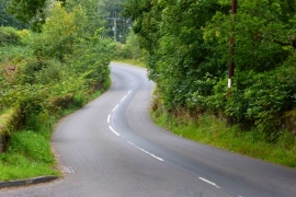
Cowden Strip, Stirling

« Gazetteer Entry
Upload Photo

Cowden Strip, Stirling

  • Unitary Authority: Stirling
  • Region: Scotland
  • Category: Landcover
  • Type: Forest or Wood
  • Latitude/Longitude: 56°3'51"N 4°18'17"W
  • Eastings/Northings: 256593, 688097
  • OS Grid: NS565880
  • Mapcode Local: GBR 0X.PYPK
  • Mapcode Global: WH3N2.VT6Z

Location and coordinates are for the approximate centre of Cowden Strip within this administrative area. Geographic features and populated places may cross administrative borders.

BritishPlaceNames.uk is a Good Stuff website.