-
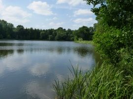
The southern end of Park Pool
-
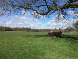
Weston Park Horse Trials: cross-country obstacle
The southern end of Park Pool
Weston Park Horse Trials: cross-country obstacle
Location and coordinates are for the approximate centre of Cow Hey Wood within this administrative area. Geographic features and populated places may cross administrative borders.