-
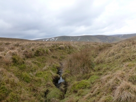
Head of the March Burn
-
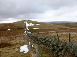
Looking towards Welltrees Tappin
Head of the March Burn
Looking towards Welltrees Tappin
Location and coordinates are for the approximate centre of Corridow Hill within this administrative area. Geographic features and populated places may cross administrative borders.