-

A46 Stratford Road
-
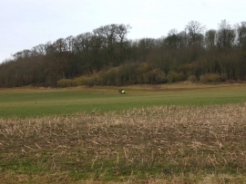
Coplow Wood, Sherbourne
A46 Stratford Road
Coplow Wood, Sherbourne
Location and coordinates are for the approximate centre of Coplow Wood within this administrative area. Geographic features and populated places may cross administrative borders.