-

Baldwin's Gate Primary School
-
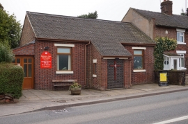
Baldwin's Gate Methodist Church
Baldwin's Gate Primary School
Baldwin's Gate Methodist Church
Location and coordinates are for the approximate centre of Coombe's Rough within this administrative area. Geographic features and populated places may cross administrative borders.