-
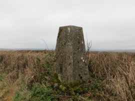
A hedge topping Triangulation Pillar near Berry Cross
-

Oak tree and gate near Paddon
A hedge topping Triangulation Pillar near Berry Cross
Oak tree and gate near Paddon
Location and coordinates are for the approximate centre of Common Moor within this administrative area. Geographic features and populated places may cross administrative borders.