-
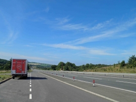
Lay-by on A595 heading to Whitehaven
-
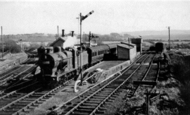
Distington (Joint) station, with train 1951
Lay-by on A595 heading to Whitehaven
Distington (Joint) station, with train 1951
Location and coordinates are for the approximate centre of Common End within this administrative area. Geographic features and populated places may cross administrative borders.