-

Towards Langaller Farm
-
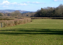
Fields near Langaller Farm
Towards Langaller Farm
Fields near Langaller Farm
Location and coordinates are for the approximate centre of Colesworthy Copse within this administrative area. Geographic features and populated places may cross administrative borders.