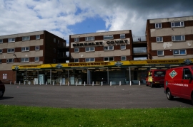
Coles Plantation, West Lindsey

« Gazetteer Entry
Upload Photo

Coles Plantation, West Lindsey

  • Built-Up Area: Scunthorpe
  • Parish/Community: North Lincolnshire, unparished area
  • Unitary Authority: West Lindsey
  • Region: Yorkshire and the Humber
  • Category: Landcover
  • Type: Forest or Wood
  • Latitude/Longitude: 53°35'14"N 0°41'6"W
  • Eastings/Northings: 487134, 410905
  • OS Grid: SE871109
  • Mapcode Local: GBR RVNY.GQ
  • Mapcode Global: WHGGC.F3Y2

Location and coordinates are for the approximate centre of Coles Plantation within this administrative area. Geographic features and populated places may cross administrative borders.

BritishPlaceNames.uk is a Good Stuff website.