-
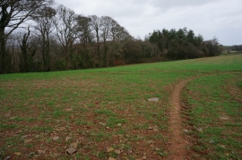
Part of Cole Hill Plantation
-
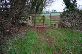
Stile and Gate, Erme-Plym Trail
Part of Cole Hill Plantation
Stile and Gate, Erme-Plym Trail
Location and coordinates are for the approximate centre of Cole Hill Plantation within this administrative area. Geographic features and populated places may cross administrative borders.