-
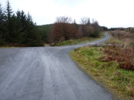
A track junction in the Dyfi Forest
-

A wet byway in the Dyfi Forest
A track junction in the Dyfi Forest
A wet byway in the Dyfi Forest
Location and coordinates are for the approximate centre of Coed y Waen within this administrative area. Geographic features and populated places may cross administrative borders.