-
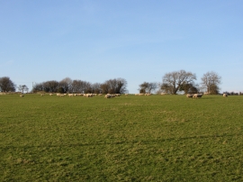
Sheep and fields near Llandough
-
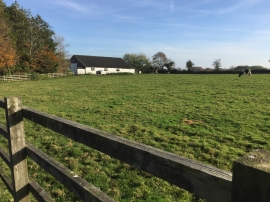
Newhouse Farm
Sheep and fields near Llandough
Newhouse Farm
Location and coordinates are for the approximate centre of Coed y Castell within this administrative area. Geographic features and populated places may cross administrative borders.