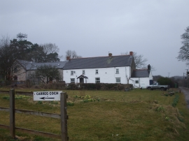
Coed Waun-fraith, Rhondda, Cynon, Taff

« Gazetteer Entry
Upload Photo

Coed Waun-fraith, Rhondda, Cynon, Taff

  • Parish/Community: Llanharry
  • Unitary Authority: Rhondda, Cynon, Taff
  • Region: Wales
  • Category: Landcover
  • Type: Other Landcover
  • Latitude/Longitude: 51°31'6"N 3°26'42"W
  • Eastings/Northings: 299825, 180939
  • OS Grid: SS998809
  • Mapcode Local: GBR HL.HD48
  • Mapcode Global: VH6F2.73J7

Location and coordinates are for the approximate centre of Coed Waun-fraith within this administrative area. Geographic features and populated places may cross administrative borders.

BritishPlaceNames.uk is a Good Stuff website.