-
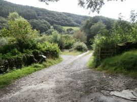
Track to Felin Lifio and Felin Fach
-
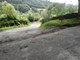
Entrance to Felin Lifio and Felin Fach
Track to Felin Lifio and Felin Fach
Entrance to Felin Lifio and Felin Fach
Location and coordinates are for the approximate centre of Coed Penybontbren-uchaf within this administrative area. Geographic features and populated places may cross administrative borders.