-
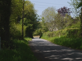
Road passing Ty Lon
-
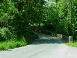
Bridge over the Nant Camel
Road passing Ty Lon
Bridge over the Nant Camel
Location and coordinates are for the approximate centre of Coed Mawr Isaf within this administrative area. Geographic features and populated places may cross administrative borders.