-
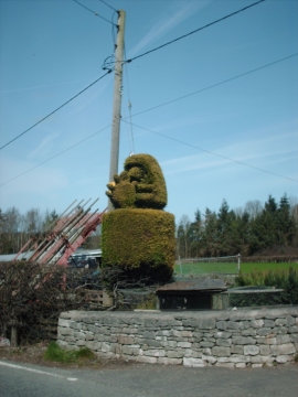
Green Raspberry
-
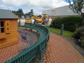
Start of building work at The Tweedmill factory outlet
Green Raspberry
Start of building work at The Tweedmill factory outlet
Location and coordinates are for the approximate centre of Coed Llanddôl within this administrative area. Geographic features and populated places may cross administrative borders.